

BWB – The first significant harbour on Madeira
January 31, 2026
BWB – Fajãs on Madeira
February 4, 2026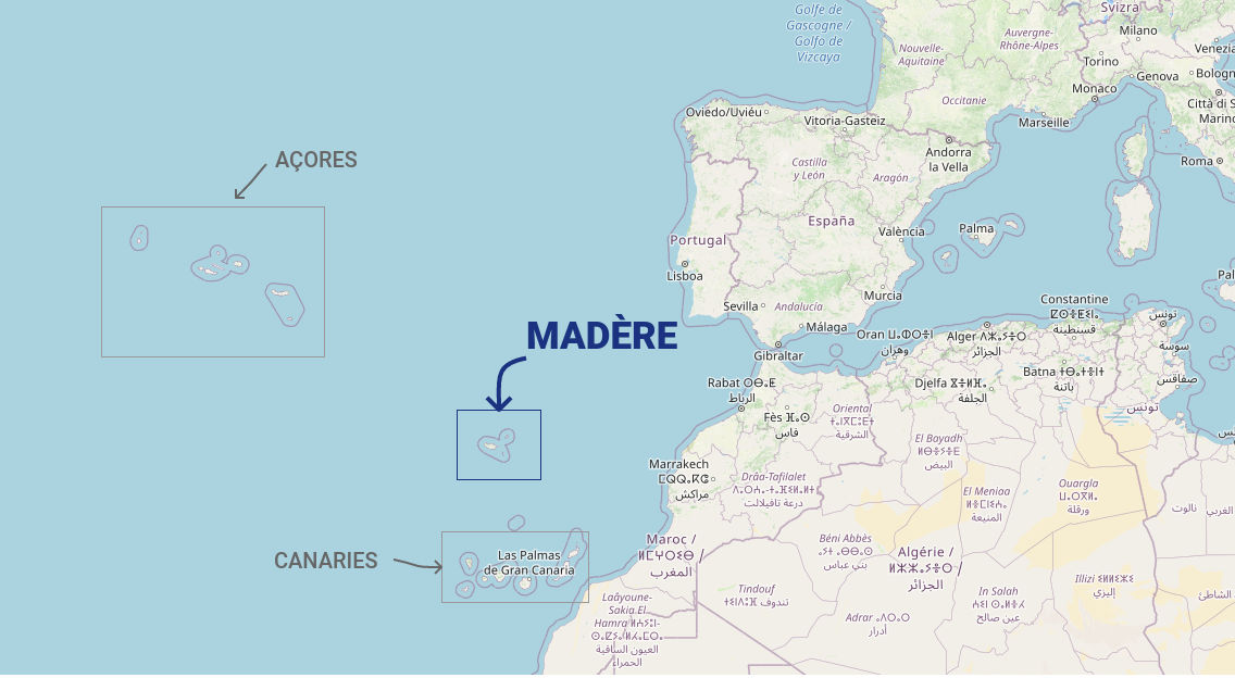
Madeira is located in the Atlantic Ocean, about 700 kilometers west of the Moroccan coast and roughly 1,000 kilometers southwest of Lisbon. Politically, the archipelago belongs to Portugal and, together with Porto Santo, the Desertas, and Selvagens Islands, forms the Autonomous Region of Madeira.
Geographically, Madeira lies at the edge of the European tectonic plate and is part of the Macaronesia archipelago, which also includes the Azores, the Canary Islands, and Cape Verde. Its location in the North Atlantic makes the island particularly interesting climatically and ecologically: it sits in a zone where warm tropical currents meet cooler air masses, influencing the island’s mild and balanced climate.
Madeira’s position in the Atlantic has been historically significant. As early as the 15th century, Portuguese explorers used the island as a stopover on their trade and exploration routes along the African coast and later to India and the Americas. Funchal thus developed into an important port within the Atlantic trade network.
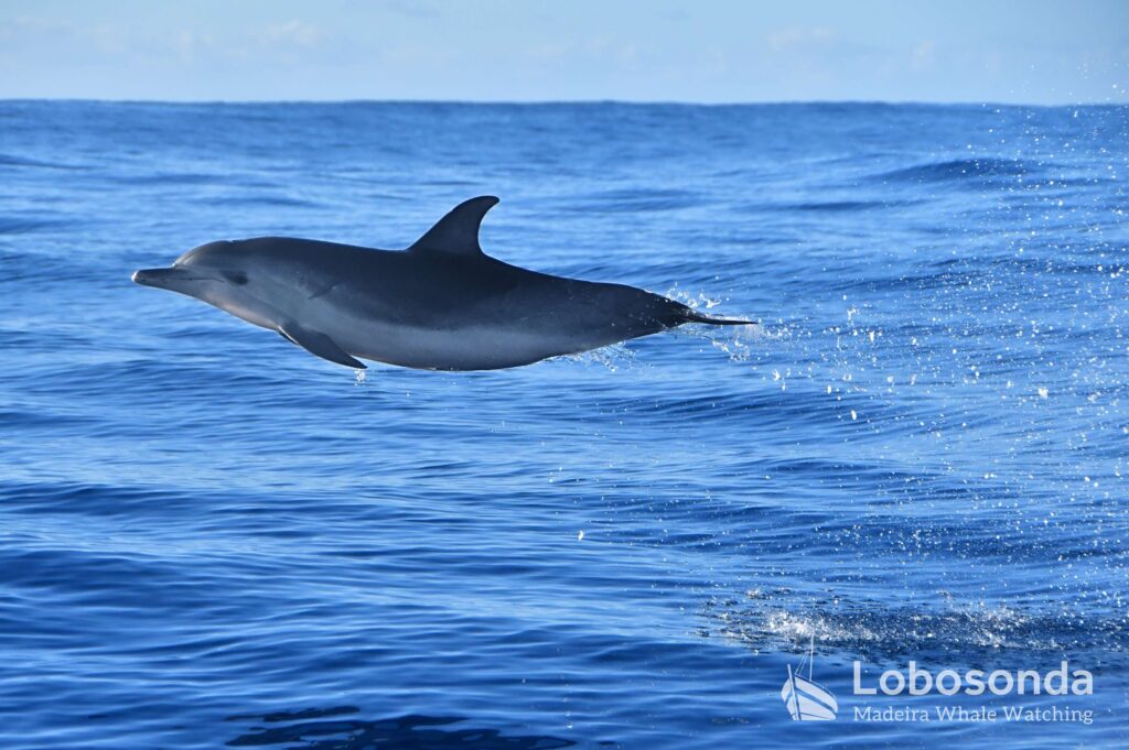
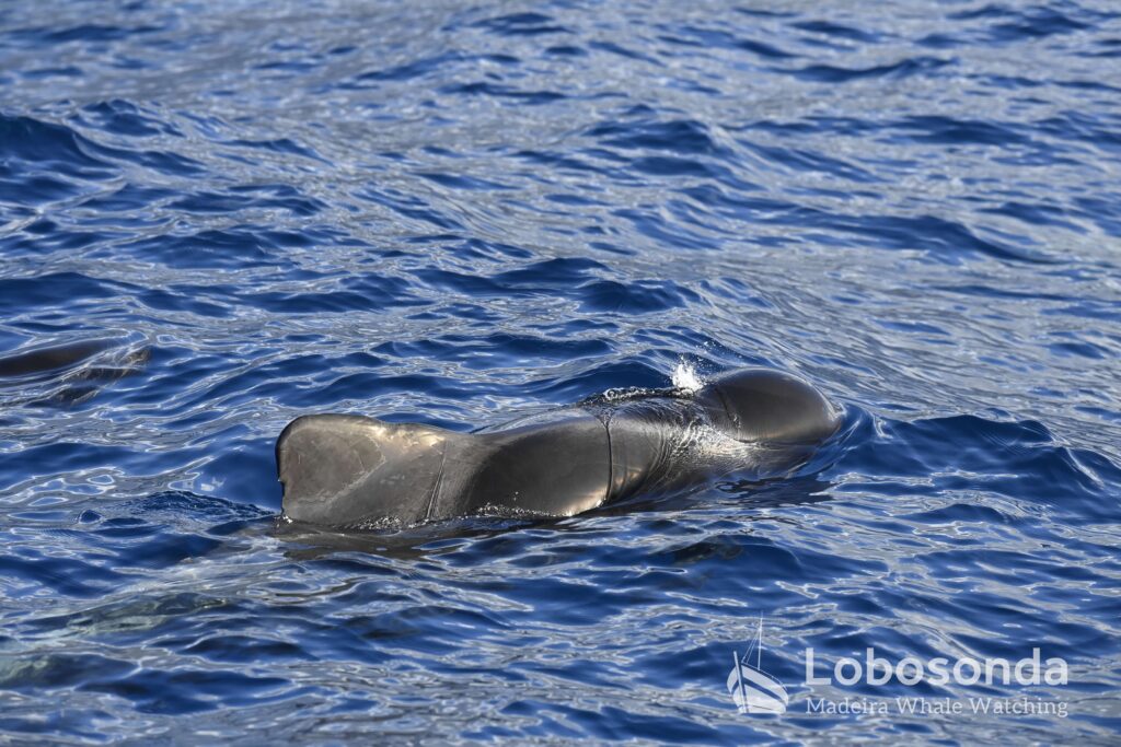
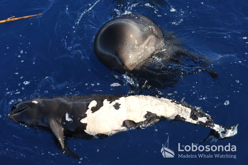
Today, Madeira benefits from its strategic location both for maritime traffic and tourism. The island is a popular destination for cruise ships and sailors who appreciate the beauty of the North Atlantic and its mild climate. At the same time, the island’s location contributes to its rich biodiversity, supported by the influence of ocean currents.
Madeira vividly demonstrates how geographic location, climate, and human use are interconnected, and how an island, despite its isolated position in the Atlantic, can become a cultural and economic hub.
© Photo by Madère le guide
By Fatima Kutzschbach